NEIGHBORHOOD AND TOWN/CITY:
San Rafael
GEOGRAPHIC DESCRIPTION OF THE Firewise SITE AREA (NOTEWORTHY LANDMARKS, STREET BOUNDARIES):
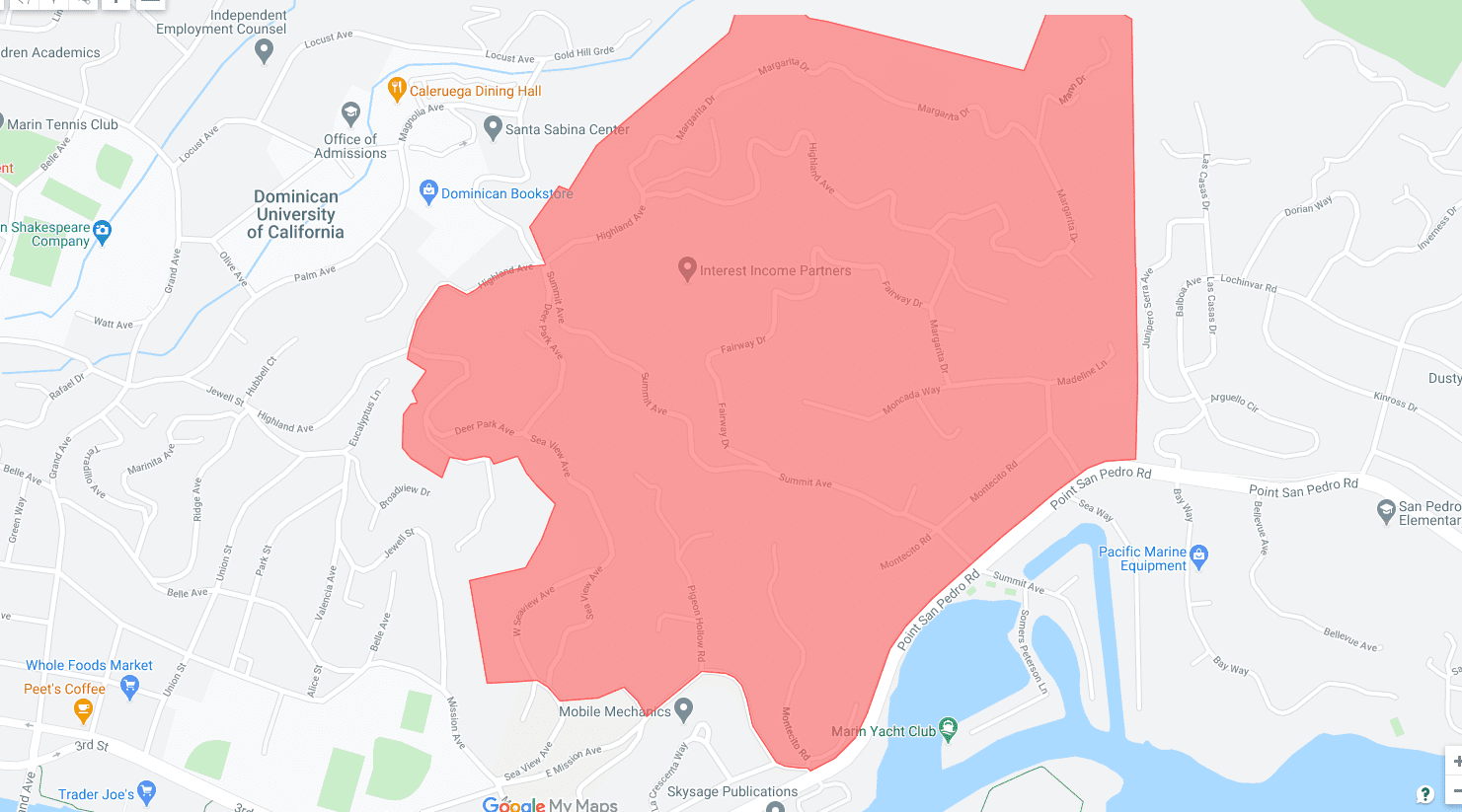
Country Club is located in eastern San Rafael, east of Highway 101 and off of Point San Pedro Road. Accessible from San Rafael’s city streets, the neighborhood is an unincorporated “island” bordered on the south by the San Pablo Bay; the north-east by open space (Gold Hill, San Pedro Mountain, Harry Barbier Memorial Park, and China Camp State Park); the east by the communities of Loch Lomond, Glenwood and Bay Side Acres; and the north-west by Dominican/Black Canyon and the City of San Rafael. The 375 homes of the Country Club Area can be found on the following streets: Margarita Dr., Mann Dr., Highland Ave., Fairway Dr., Summit Ave., Madelene Ln., Morgan Ln., Montecito Rd. (off Point San Pedro Rd.) Pidgeon Hollow Rd., Seaview Ave., and Deer Park Ave.
CONTACT EMAIL(S) FOR Firewise SITE:
neighbors@readycountryclub.com
WEBSITE ADDRESS:
DATE OF Firewise CERTIFICATION:
2020


