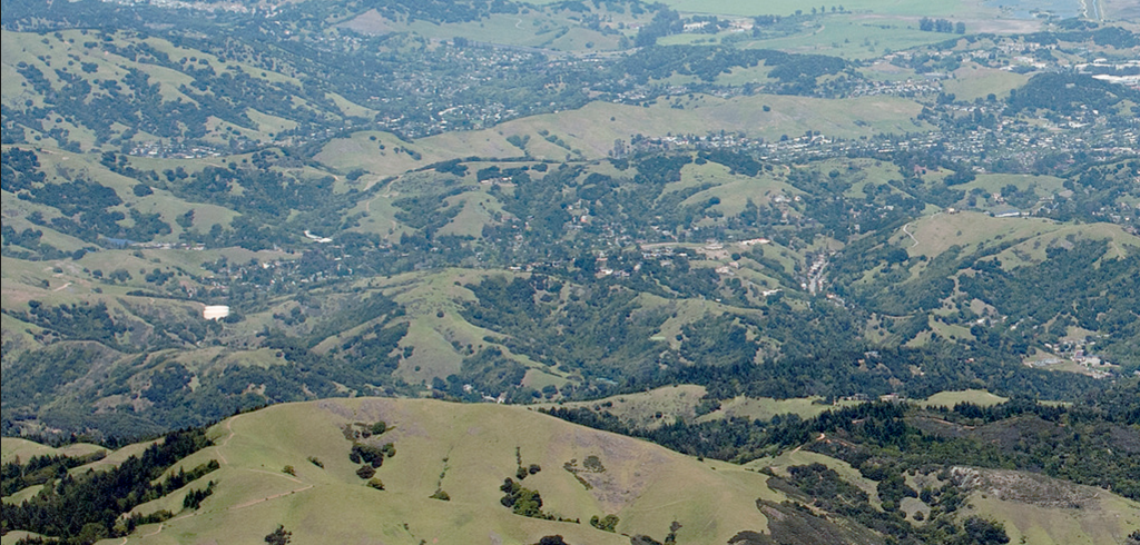
Citizens are moving farther into “natural” areas to take advantage of the privacy, natural beauty, recreational opportunities and affordable living. Developers are building neighborhoods to accommodate the influx. As a result, fire departments are fighting fires along the Wildland Urban Interface (WUI), defined as areas where homes are built near or among lands prone to wildland fire. Depending on the area of the country, fire departments might refer to wildland fires as brush fires, forest fires, rangeland fires, or something else; however, they are all part of the WUI and all pose the same threat to local assets. The increase in the WUI threat has been steep because of continued development and exposure.
The WUI is not a place, per se, but a set of conditions that can exist in nearly every community. It can be a major subdivision or it can be four homes on an open range. According to the National Fire Protection Association, conditions include (but are not limited to): the amount, type, and distribution of vegetation; the flammability of the structures (homes, businesses, outbuildings, decks, fences) in the area, and their proximity to fire-prone vegetation and to other combustible structures; weather patterns and general climate conditions; topography; hydrology; average lot size; and road construction. The WUI exists in every state in the country.
Where is the Wildland Urban Interface in Marin?
A countywide map showing the general location of the WUI in Marin is published at www.marinmap.org. Individual communities may have adopted slightly different boundaries to define local WUI for planning and development purposes, and the boundaries can change over time as building density increases or due to changes in wildland vegetation and open spaces. Please refer to your local fire or planning department for WUI boundaries related to planning and development.


