IN THE EVENT OF AN EMERGENCY THIS SITE IS NOT MONITORED. FOR CURRENT INFORMATION GO TO HTTPS://EMERGENCY.MARINCOUNTY.GOV.
Red Flag Warnings
Stay on high alert, watch the news, and prepare for evacuation on days a Red Flag Warning is issued.
What is a Red Flag Warning?
Red Flag Warnings are issued by the National Weather Service when weather conditions are right for extreme wildfire events. These are days with sustained or gusty winds, and hot and dry conditions, that make wildfires more likely to ignite and spread rapidly. During these times extreme caution is urged by all residents. This is the time to stay on high alert, watch the news, and prepare for evacuation if needed.
Red Flag Warnings go out to the Marin community through Nixel, news outlets, and social media. Large signs with “Red Flag Warning” are also posted on major roads and intersections.
Red Flag Warnings are posted online on the California Fire Weather web page and on the web page for the San Francisco Bay Area National Weather Service (NWS) office. Links to all fire weather forecasts and other NWS office web pages can be found on the National Fire Weather Page, including the forecasthttps://www.weather.gov/mtrfor the San Francisco Bay Area.
What to Do During a Red Flag Warning
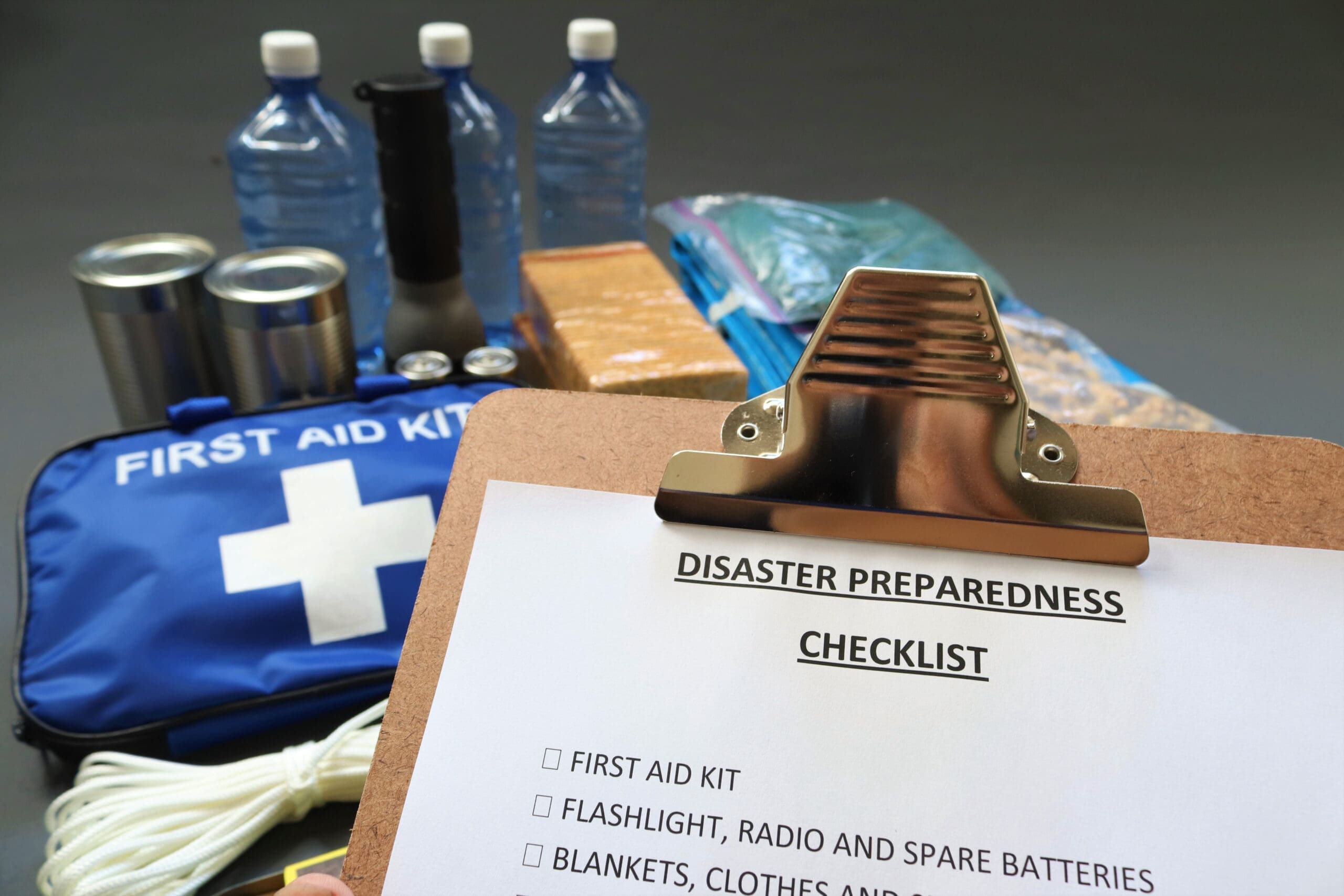
- Review your wildfire evacuation checklist.
- Walk around the outside of your house and clear anything combustible, including:
- Leaves from roofs, gutters, and around the base of walls
- Wicker lawn furniture and all cushions
- Wood piles or debris near structures
- Flammable doormats
- Ensure your family and pets are prepared, and keep your evacuation go-kits nearby.
- Ensure your car has a full tank of gas or is fully charged.
- Ensure your cell phone is charged, and monitor phones for emergency alerts.
- Keep hydrated – it’s usually warm and dry!
Activities to Avoid
- Don’t use barbecues or fire-pits outdoors.
- Don’t use any source of heat or open flame outdoors, including, cooking, using power tools (gas or electric), or mowers.
- Don’t smoke outdoors.
- Avoid driving or parking in dry grass or vegetation.
- Avoid closed areas and be alert while visiting (open) public lands where wildfires might occur.

Red Flag Warning Weather Conditions
Red Flag Warning conditions are typically related to:
- Wind events lasting at least eight hours
- Dry vegetation
- Cured annual grasses
- No rain in the last 24 hours
- “10-hour” fuels (dead vegetation 1/4 to 1/2 inch in diameter) have less than 6% moisture.
Relative humidity and wind speed are the primary factors driving a Red Flag Warning declaration, and must fall into one of the following parameters:
| Relative Humidity | Wind Speed |
| Day, 29-42% and/or Night, 60-80% | 30+ mph |
| Day, 19-28% and/or Night, 46-60% | 21+ mph |
| Day, 9-18% and/or Night, 31-45% | 12+ mph |
| Day, <9% and/or Night, <31% | 6+ mph |
Contributing Factors
Climate change is driving extreme weather conditions, making the fire seasons hotter, drier, and longer. Since 1990, the average temperatures in California have risen 2° Fahrenheit; the fire season has increased by about 75 days; and, the acres burned have accelerated from 400,000 to over four million annually.
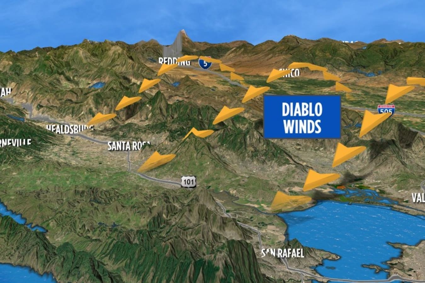
The Diablo Winds are strong wind events that flow northeasterly over Northern California’s coast in the fall when the moisture content is at its lowest. These hot, dry winds can become quite strong with gusts reaching speeds of 40 miles per hour or higher, particularly along the ridges of the Coast Range. This effect is especially dangerous with respect to wildfires as it can enhance the updraft generated by the heat in such fires.
Public Land Closures
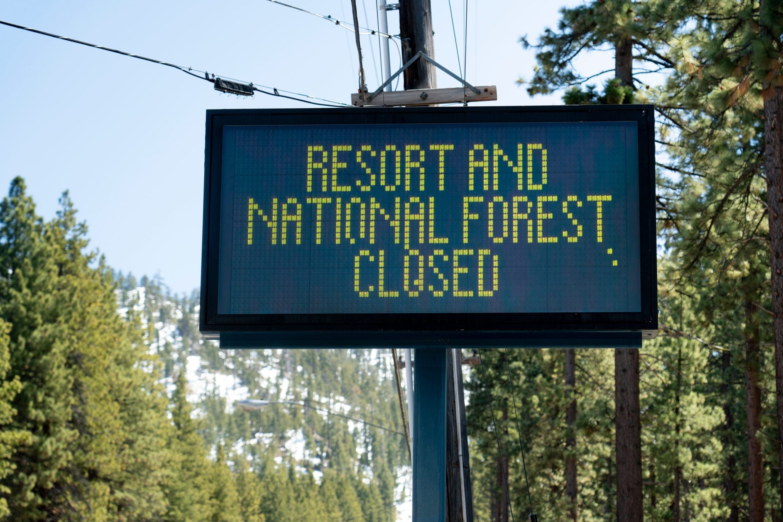
When a Red Flag Warning is issued, the Marin County Fire Department notifies public land owners who determine if land-use restrictions will go into effect. These restrictions may include temporary road closures or suspension of special use permits. For information on Red Flag Land Use Restrictions, call public lands before visiting or call the Marin County Fire Department public information line at (415) 473-7191.
Lands within the Marin Municipal Water District (MMWD) are subject to closures on Red Flag Days
- MMWD’s Mt. Tamalpais watershed lands are closed to public motor vehicle traffic on Sky Oaks Road beyond the Sky Oaks Ranger Station.
- All watershed land use permits are suspended.
- Natalie Coffin Greene Park is closed to vehicle traffic.
- For additional MMWD information, please call (415) 945-1195.
Marin County Parks and Open Space
- All Marin County Parks events on open space land are canceled for the duration of a Red Flag Warning.
National Park Service managed lands:
Fire Danger Ratings
Fire danger ratings are measurements of weather and fuel conditions that help fire agencies predict how likely a fire may ignite, and how intensely and quickly it may burn. These ratings are determined daily during fire season by local fire agencies based on the National Fire Danger Rating System (NFDRS). These ratings are based on the probability of ignition; the effects of wind, slope, and fuel; and the potential energy released by a fire in the given weather and fuels. A daily rating ranging from Low to Extreme level Fire Danger is determined based on the worst-case fire weather scenario during the hottest, driest part of the day on an open, south-facing slope.
Fire danger ratings may vary throughout the county and are used to determine whether land use restrictions will go into effect as well as how many firefighters should be available in case a wildfire does occur. Fire Danger Ratings describe the potential for fire to ignite and spread rapidly in a local area. Red Flag Warnings are a weather forecast used to predict a weather event in which fire will be difficult to control.

FAQS
Is there any way for a citizen to find out if there is a Red Flag Warning for Marin, other than driving by a sign posted on a street?
In Marin, fire and law enforcement agencies use Nixle to send out general messages and alerts to large areas. Included in this is the distribution of messages about Red Flag Warnings, which are determined by the National Weather Service. Make sure you also register for Alert Marin to receive evacuation and emergency messages when an action is required at your address. Nixle is the official system used to distribute informational messages from Marin agencies. Local newspapers and TV news outlets announce these (and call other weather warnings) as well.
There are several apps available for smartphones that will notify users when a warning is issued in their area. These are good for all types of weather warnings issued by the National Weather Service (e.g., flood, storm, fire weather, etc.).
Has anyone told Fire Safe Marin that it rained this week? Why are you issuing a Red Flag Warning?!
A Red Flag Warning is issued by the United States National Weather Service, not Fire Safe Marin. All Red Flag Warnings are related to predicted weather and fuel moistures, and weather and fuel conditions must meet specific criteria. A small amount of rainfall during the summer and fall months usually does not significantly increase live or dead fuel moistures. Current knowledge of fuels and fire behavior tells us that live fuel moistures can still reach a critical level, and dead fuels will dry to their pre-rainfall level within ten hours during a low humidity wind event.
Any Red Flag Warning wind event issued for Marin has the potential to cause rapid growth and extreme fire behavior if any wildfires start.
My neighbor is using a charcoal barbecue (or, is it safe to use a charcoal barbecue during fire season)?
A charcoal barbecue can be safe when used properly. Marin residents should never use the charcoal barbecue when it’s windy, or when fire weather is extreme. Always place the barbecue as far away as possible from any building and/or dry vegetation. Barbecuing on a stone patio is safest. Never attempt to move the barbecue when it’s hot (or even warm).
Always keep a charged garden hose nearby (with a “squeeze grip” nozzle) when barbecuing, and make sure it’s long enough to reach around all corners of the building. If you need to move the hose, be careful not to knock the barbecue over! Keep the hose in place for at least twelve hours AFTER cooking to allow the coals to cool. Only empty the ashes into a metal container.
