Having the right tools and knowing how to use them can save you and your loved ones during an emergency.
With all the technology and communications options today, wildfire information can come from mobile apps, interactive maps, livestreams, blogs, social media, public agencies, and many other avenues. Having more information can help but it can also feel overwhelming. The key is understanding what each source provides.
The six resources below serve different purposes, with AlertMarin always taking priority when action is needed.
Your tools at a glance
| IF YOU WANT TO KNOW… | START HERE: |
| Do I need to evacuate or take another safety action? | AlertMarin (and other official public safety platforms) |
| Where is the fire, and what is happening now? | Watch Duty |
| Why are you hearing sirens nearby and where are the emergency vehicles going? | Pulse Point |
| Why is the fire behaving this way? | The Lookout |
| What can I see nearby? | AlertCalifornia (live streaming camera feeds) |
| What weather conditions are increasing wildfire risk? | Weather West |
Please be aware that Watch Duty and PulsePoint both pull information from various sources and users should verify any notifications with an official public safety resource (such as the Marin County Office of Emergency Management‘s Public Emergency Portal and AlertMarin). None of the other tools stated in this article replace the official emergency alerts from public safety agencies.
Use current, trusted information
Wildfire information and alert systems are constantly improving. Advances in satellite detection, cameras, mapping, weather data and crowd-sharing information are giving residents and responders a faster, clearer view of developing conditions. Still, no resource provides a perfect, up-to-the-second picture, and wildfire can change faster than information can be confirmed and displayed.
Keep alert notifications enabled across your devices, pay attention to conditions around you and be ready to act. Use sources that identify where their information comes from, and check timestamps before sharing maps, screenshots or social media posts. Older information can quickly become inaccurate and misleading.
AlertMarin: Your #1 Emergency Tool
For Marin residents, AlertMarin is the official emergency notification system used to send evacuation warnings, evacuation orders, shelter-in-place messages and other potentially life-saving instructions. Notifications may arrive by phone, text or email when action is needed at a specific location.
Please do not wait until a fire is nearby to enroll. Sign up now or confirm that your contact information and registered addresses are current. You should encourage other members of your household to do the same, including seniors who may need extra help with the process.
If an app, map or other source appears to conflict with an AlertMarin message, always follow the official public safety instructions.
 2026 COUNTYWIDE TEST EVENT: The Marin County Office of Emergency Management conducted a countywide AlertMarin test on September 26, 2026.
The test successfully exercised AlertMarin countywide via SMS, phone, and email while helping identify opportunities to continue improving message delivery. Additionally, the test featured the rollout of a new callback capability, handling 890 calls during the test. AlertMarin also experienced a record high month for new signups, with about 1,280 new households registering in September.
To see AlertMarin’s coverage of the county, visit the Marin County Office of Emergency Management’s AlertMarin dashboard.
Watch Duty: What is happening now?
Watch Duty is a nonprofit service that brings wildfire information from multiple sources into one interactive map. Depending on available data for any particular incident, users may see official reports, fire perimeters, evacuation areas, satellite detections, wildfire cameras, prescribed burns and firefighting aircraft.
Available through their mobile app and website, Watch Duty organizes information from official agencies, radio traffic and other verified sources, making it easier to follow an incident without searching across multiple websites and social media accounts. App users can choose which counties and incidents to follow.
Best used for:
Following a developing incident and seeing how information fits together on a map.
Keep in mind:
Watch Duty complements official alerts; it does not replace them. Conditions may change faster than the app can update, and it should not be used to select an evacuation route. The app presents information gathered from various sources and users should verify the information using an official public safety resource (such as the Marin County Office of Emergency Management’s Public Emergency Portal). Always follow directions from official public safety sources, such as AlertMarin.
PulsePoint: What are emergency agencies responding to near me?
PulsePoint is a 911-connected app that shares selected fire and emergency calls from participating public safety agencies. All Marin fire agencies use PulsePoint, allowing residents to follow local activity and choose notifications for incidents such as wildland fires.
Although best known for alerting CPR-trained people when someone nearby needs help, PulsePoint can also provide early awareness of fires and other local emergencies.
Best used for:
Seeing selected local incidents and learning what nearby fire crews may be responding to.
Keep in mind:
PulsePoint provides helpful local context, but it does not replace AlertMarin. PulsePoint gathers data from various sources and users should verify the information through an official public safety resource (such as the Marin County Office of Emergency Management’s Public Emergency Portal). It is critical to always follow AlertMarin and any instructions from official public safety agencies during an emergency.
The Lookout: Why is the fire behaving this way?
The Lookout is an independent wildfire media project created by geographer and wildfire specialist Zeke Lunder. Through articles and livestreams, Lunder uses maps, satellite imagery and his knowledge of California landscapes to explain what a fire is doing and why.
The Lookout explores how wind, terrain, vegetation and past fires influence an incident. It also covers prescribed fire, fire ecology and the reality that fire can be beneficial, harmful or both, depending on where and how it burns.
Best used for:
Learning about fire behavior and how landscape affects an incident.
Keep in mind:
The Lookout provides independent analysis and does not cover every fire. Its briefings offer context, not official emergency instructions.

Live Wildfire Cameras: What can I see nearby?
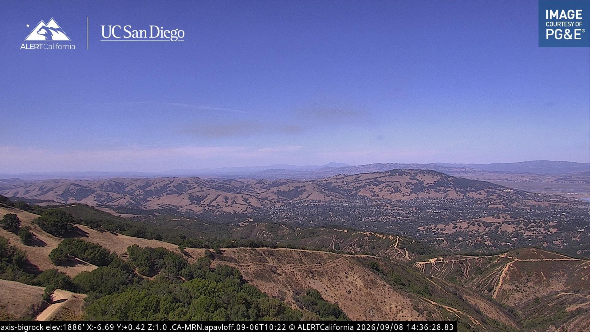
ALERTCalifornia provides live camera feeds across the state, including coverage of Marin County. These live views can help you safely observe smoke or fire activity and get a better understand nearby conditions. We’ve compiled the Marin County video feeds for your direct access convenience.
Best used for:
Viewing current conditions and checking visible smoke or fire activity across Marin.
Keep in mind:
Each camera shows only what is visible from its location, and conditions can change quickly. Use the cameras for awareness, not as a substitute for AlertMarin notifications or official public safety instructions.
Weather West: What conditions are shaping wildfire risk?
Weather West is a long-running and well-respected weather and climate blog created by UC Agriculture and Natural Resources climate scientist Daniel Swain. He also hosts virtual weather and climate office hours on YouTube, using maps and live discussions to explain developing conditions.
Weather West connects day-to-day weather with broader patterns, including how wind, heat and dry vegetation can increase the potential for damaging fires. This perspective can be especially useful in explaining the relationship between weather and wildfire. Recognizing that hot, dry or windy weather is approaching can prompt you to review your evacuation plan and pay closer attention to official alerts.
Best used for:
Understanding fire-weather patterns and the broader weather and climate forces that influence wildfire risk.
Keep in mind:
Weather West provides expert context, not official evacuation information or a location-specific emergency forecast.
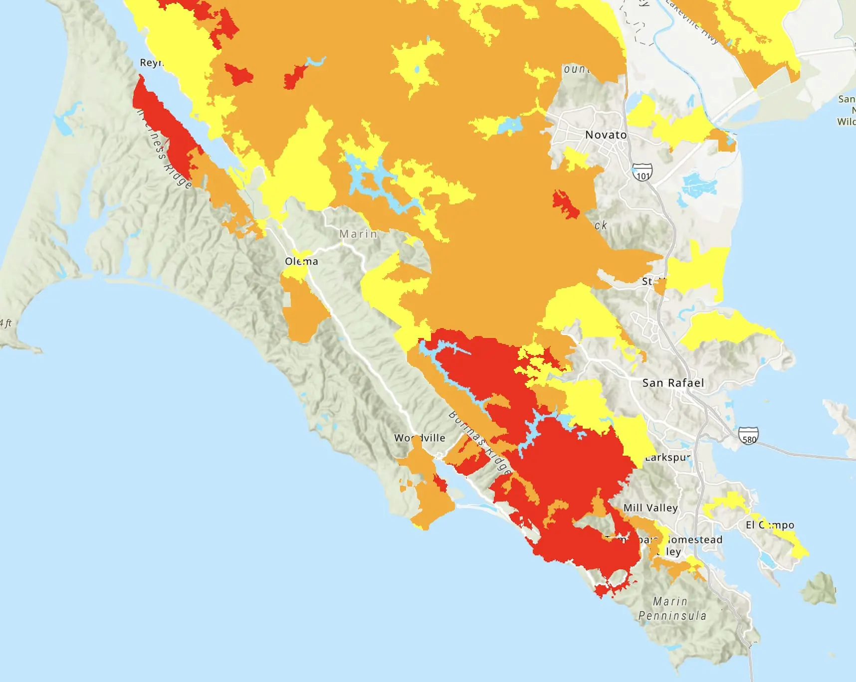
Have these resources ready before you need them
Take a few minutes now to:
- Sign up for AlertMarin or confirm that your information is current.
- Make sure you bypass “Do Not Disturb” on your mobile devices so that you always see the alerts.
- Make sure everyone in your household knows that AlertMarin messages and instructions from public safety officials take priority.
- Download Watch Duty and review your notification settings.
- Bookmark The Lookout and Weather West so you know where to find reliable context when you need it.
No single resource provides the entire picture. Used together, and with official alerts taking priority, these tools can help you stay aware, recognize changing conditions and act when it matters most.